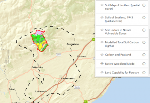
Bringing in some of the available spatial data for the farm (and associated catchment where available), this interactive resource allows user-driven display and overlays. The spatial datasets in this resource are extracted from existing datasets - with interactivity enabled, including clickable layers and the ability to overlay multiple data sets - so that researchers and others currently working or intending to work on the farm can have quick overviews of biophysical characteristics of landscape of the farmland and its environs.
